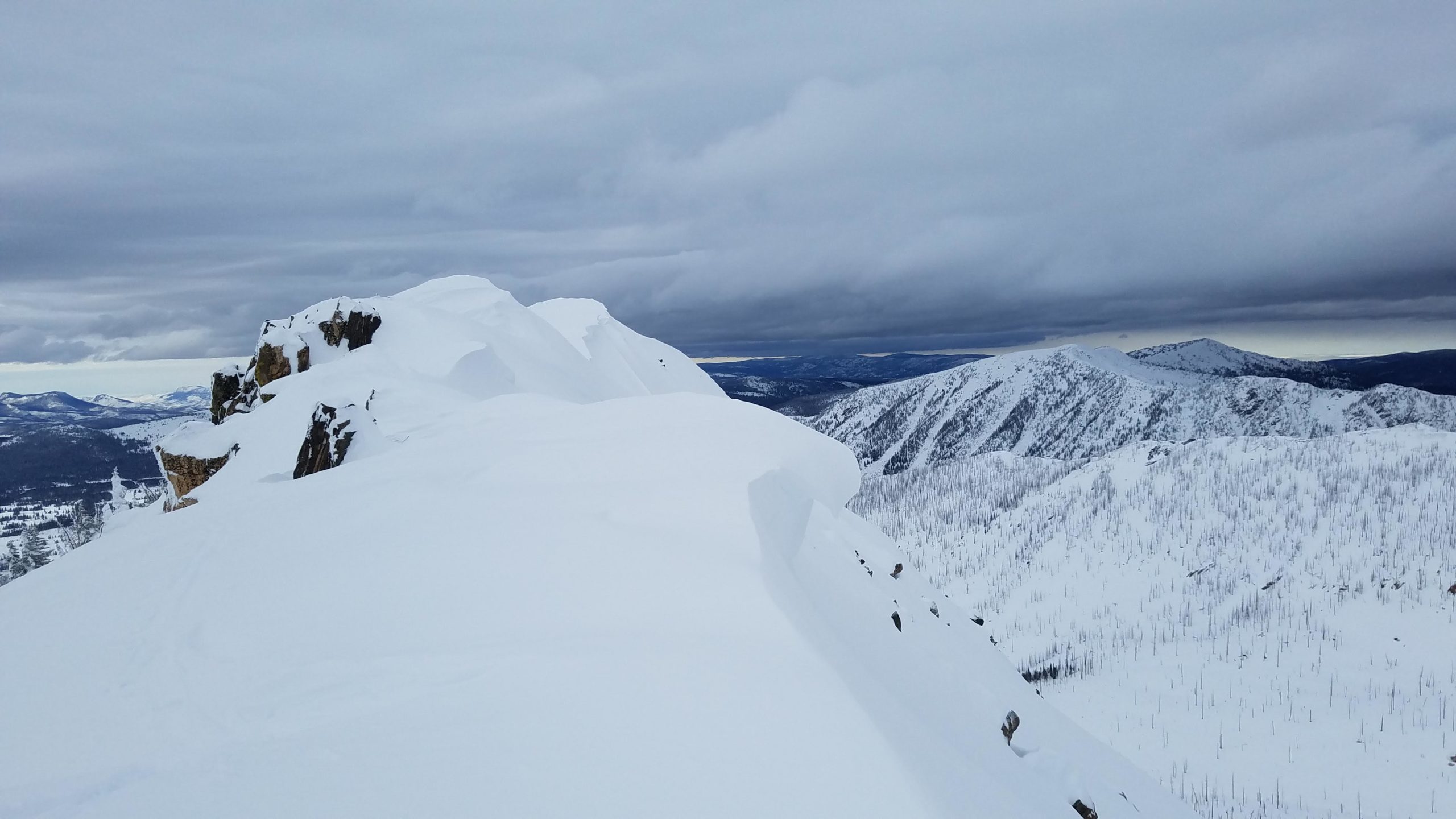
Little Agnes
- Posted on
Avalanche Danger
Persistent slab NW-N-E across all elev possible, small to large in size. Wind slab on NE-SE NTL & ATL possible, small to large in size.
Ski Partners
Weather
Light breeze and low clouds/fog in the AM dissipate with skies turning partly/mostly cloudy and windy in the PM. Temps in the twenties.
HSN24
0"
HSN48
5"
Precip
None
Sky
Broken
Winds
Light AM increasing to Mod in PM
Temps
Low 20F / High 30F @ Lost Dog Snotel
Snowpack Observations
Snowpack observed on W & SW aspects all elevations. HS ~140-160cm.
Snow surface was wind affected with a 6″ breakable wind skin.
No signs of instability and overall good stability on W/SW aspects.
Effective wind transport from W in the PM loading up N-E facing terrain with thick soft wind slabs. Cornices are tender and growing larger.
Snowpit next to the Beaver Patch on W asp, 10200′, 20* slope displayed good structure and signs of strengthening. F-1F progressive hardness from top down. Storm snow starting to bond to old snow. Thin melt freeze crust in upper pack bonding to surrounding layers. Mid pack rounding. Basal layer sintering. ECTX
Kreston’s ob:
https://avalanche.state.co.us/caic/obs/obs_report.php?obs_id=58609
“Probing around the snowpack ranged in height from 140cm-160cm in this area. Another group that was to the north said they found depths up to 240cm. Comparatively, this part of the zone is becoming deeper and stronger. We dug on a west facing slope off the west ridge and found no remarkable weak layers and had no failures in stability tests. Facets were found at the ground but they are gaining strength and unreactive. There was plenty of evidence of recent wind-transported snow throughout this part of the zone. Snow surfaces were denser than sheltered areas but still soft with ski pen over the ankle. Lee-ward slopes below ridgeline had significant cornice growth and deeper soft slabs that appeared well bonded.”
