Rabbit Ears: Bruce’s
- Posted on
Weather Forecast
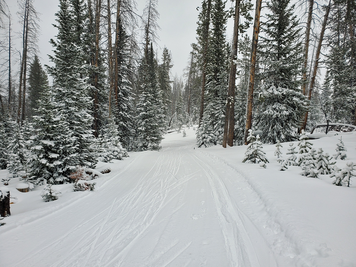
Clouds are marching into the Northern and Central Mountains Thursday afternoon as the jet stream fires shortwave disturbances towards northern Colorado. Snow showers have started, and will pick up in intensity this evening. Some locations in the northern Sawatch, Gore, and Front Ranges are well positioned to pick up 6 or more inches of snow overnight. Expect a few inches of snow over the rest of the Central and Northern Mountains. Light, scattered snow showers will linger through Friday and Friday night, winding down by Saturday morning. Winds remain strong and gusty until Saturday, when the jet stream shifts away from us. The Southern Mountains miss out on the snow and the strongest of winds.
Select a small amount of conservative terrain in which to operate confidently while more information is gathered to gain confidence in the hazard assessment.
Weather
HSN24
2"
HSN48
6"
Precip
S1
Sky
Overcast
Winds
Calm
