SPC – Soda Special
- Posted on
Weather Forecast
The jet stream is sagging into the Desert Southwest placing Colorado under a northwest flow. Snow showers continue today favoring the Northern Mountains. Daytime high temperatures reach into the mid to upper teens under mostly cloudy skies. Temperature (°F) 11 to 16. Wind Speed (mph) 9-19. Wind Direction WNW. Sky Cover Overcast. Snow (in) 1 to 3
Avalanche Danger
Persistent Slab: Large to very large likely on all aspects and elevations
Light snowfall on a snowpack near its tipping point means that avalanche conditions are dangerous. Very large avalanches could run naturally. If you travel in avalanche terrain, you can easily trigger deep avalanches that break near the ground and run far. You can even trigger them from the lower-angled slopes below, so pay close attention to any exposure to big terrain overhead. Steep wind-loaded slopes can produce the largest avalanches, but even in wind-sheltered terrain you can easily trigger an avalanche big enough to bury you. Avoid travel on or below slopes steeper than about 30 degrees.
Ski Partners
Select a small amount of conservative terrain in which to operate confidently while more information is gathered to gain confidence in the hazard assessment.
Route
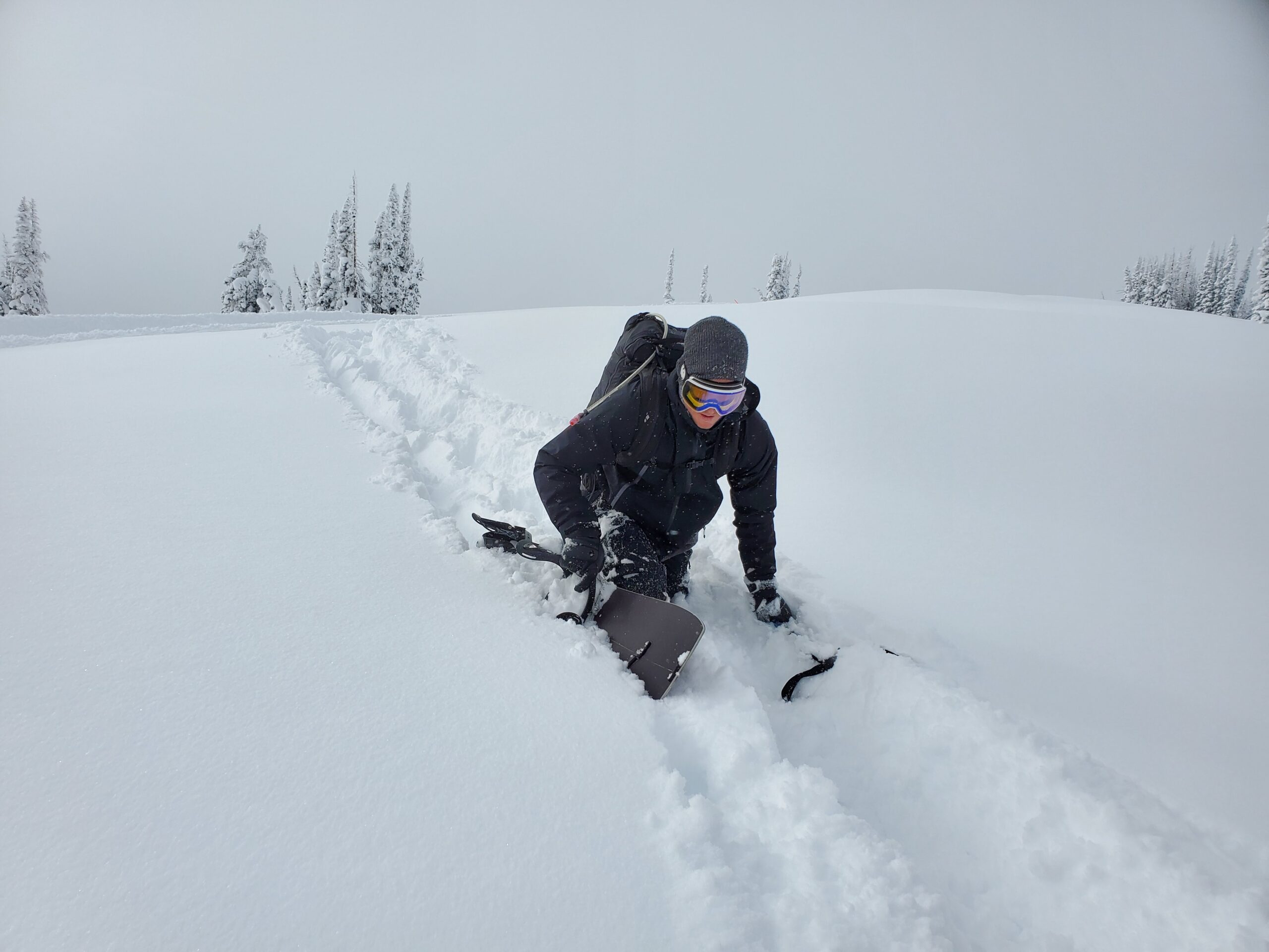
Snowmo to East Ridge of Soda. Attempted to ski North Pole and bailed, too deep. Skied 30* on W ridge (tube?), Poppy fields, Lower Soda ramp and skinned out to Dry Lake
Weather
AM Obs: OVC S-1 and calm
PM Obs: OVC S2 with a light W breeze
Hn24: 14″; Hn48: 33″; Ski pen: Knee high. Wicked deep!
HSN24
14"
HSN48
33"
Precip
Up to S2
Sky
OVC
Winds
Calm Am, Light W Breeze PM
Temps
10-20F
Ski Pen
Top of kneecap
Snowpack Observations
33″ storm snow on a stiff mid-pack all on top of weak facets
Avalanche Activity
None observed. Two very large fatal avalanches on deep persistent slab over the last few days.
